Archivi:Map NL - Wester-Koggenland - Zuidermeer.svg

Fail orginal(archivi in formad SVG, grandezza nominal 800 × 600 picsel, grandezza de l'archivi: 18 KByte)

Quell fail chì el ven de Wikimedia Commons e 'l po vesser doprad de alter proget. La descrizzion sora la soa pagina de descrizzion del fail l'è mostrada chì de sota.

Somari

Descrizzion
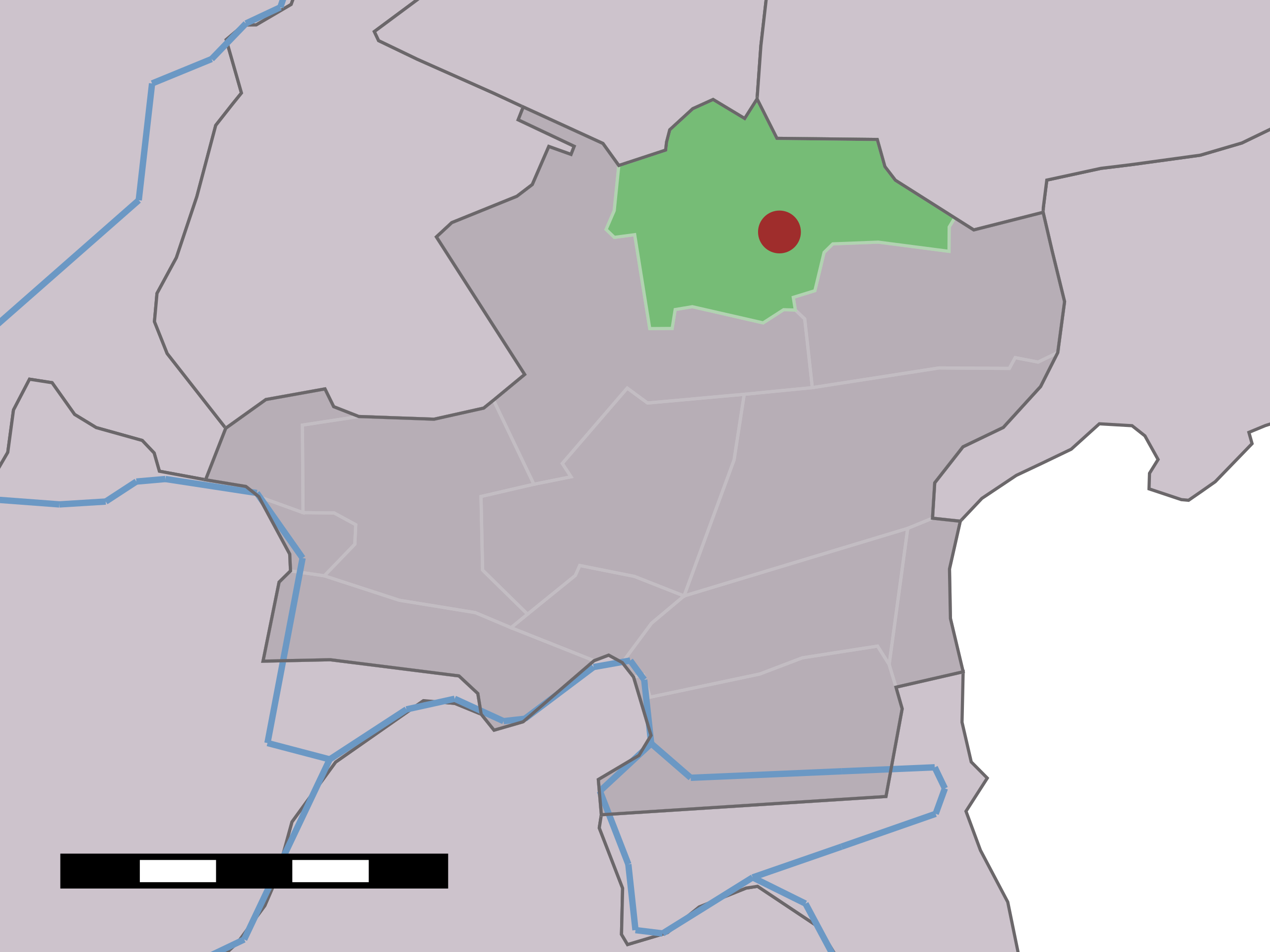
English: Map of Zuidermeer, municipality of Wester-Koggenland, the Netherlands
Data tra el 2001 e el 2006
date QS:P,+2001-00-00T00:00:00Z/8,P1319,+2001-00-00T00:00:00Z/9,P1326,+2006-00-00T00:00:00Z/9
Sorgent Centraal Bureau voor de Statistiek
Autor Centraal Bureau voor de Statistiek

Licenza

© El titolar del dirit d'autor de quell fail chì, Centraal Bureau voor de Statistiek, el permet a chissessia de drovall per qualsessia fin, basta che el sia cità l'autor. A inn permetud la distribuzzion, i opere derivade, l'uso comercial e na quaiservoeur altra utilizazzion.

VRT Wikimedia

L'autorizzazione per l'uso di quest'opera è stata verificata ed archiviata nel sistema VRT di Wikimedia ed è accessibile esclusivamente agli utenti con un account VRTS. Se vuoi riutilizzare quest'opera altrove, per favore consulta le indicazioni di Commons:Riuso del contenuto al di fuori di Wikimedia. Se sei un utente di Commons e desideri avere conferma dell'avvenuta autorizzazione o per eventuali richieste, per favore contatta qualcuno con un account VRTS oppure lascia una nota alla VRT noticeboard.

Link al ticket: https://ticket.wikimedia.org/otrs/index.pl?Action=AgentTicketZoom&TicketNumber=2007041210008226
Find other files from the same ticket: SDC query (SPARQL)

This image is (in part or entirely) based on geographical data from Statistics Netherlands (Centraal Bureau voor de Statistiek). Digital geometry files in ESRI format can be downloaded from their website [1].

In particular, boundary data of statistical districts is based on either the Wijk- en buurtkaart 2005, or the Wijk- en buurtkaart 2003 ("CBS/TOPgrenzen"). Data on localities (bevolkingskernen) are from the publication Bevolkingskernen in Nederland 2001.

Conditions of use (in Dutch):

  • Bij visualisering van gegevens met behulp van het digitale bestand Wijk- en buurtkaart 2005 dient te worden vermeld:
Bron: © 2006, Centraal Bureau voor de Statistiek / Topografische Dienst Kadaster
  • Bij visualisering van gegevens met behulp van het digitale bestand CBS/TOPgrenzen dient te worden vermeld:
Grenzen ondergrond: © 2003, Centraal Bureau voor de Statistiek/Topografische Dienst Kadaster
  • Bij visualisering van gegevens met behulp van het digitale bestand "Bevolkingskernen 2001" dient te worden vermeld:
Bron: © 2005, Centraal Bureau voor de Statistiek

Unless otherwise specified, data on waterways and lakes are from the public domain Digital Chart of the World.

Insegna

Sgionta una spiegazzion curta de cosa l'è che quell fail chì el rapresenta.

Element rapresentad in quell fail chì

representa

Cronologia de l'archivi

Schiscia in su un grup data/ora per vedè l'archivi com 'a l'è che l'era in quell moment là

Data/OraMiniaduraGrandezzaUtentComent
corent12:47, 15 avr 2006Miniadura de la version di 12:47, 15 avr 2006800 × 600 (18 KByte)Eugene van der PijllMap of Zuidermeer, municipality of Wester-Koggenland, the Netherlands. {{Statistics Netherlands map}} Category:Maps of North Holland

Quell fail chì l'è doprad de la pagina chichinscì:

Utilizazzion global di fail

Anca questi Wiki chì a dopren quell fail chì: