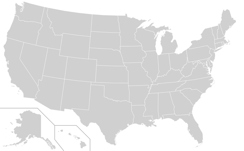
Archivi:Blank US Map (states only).svg

Grandezza de quetsa presualizzazion PNG per quell fail SVG chì: 800 × 495 picsel. Alter risoluzzion: 320 × 198 picsel | 640 × 396 picsel | 1 024 × 633 picsel | 1 280 × 791 picsel | 2 560 × 1 583 picsel | 959 × 593 picsel.
Fail orginal (archivi in formad SVG, grandezza nominal 959 × 593 picsel, grandezza de l'archivi: 57 KByte)
Cronologia de l'archivi
Schiscia in su un grup data/ora per vedè l'archivi com 'a l'è che l'era in quell moment là
| Data/Ora | Miniadura | Grandezza | Utent | Coment | |
|---|---|---|---|---|---|
| corent | 23:54, 22 des 2020 |  | 959 × 593 (57 KByte) | Jamesy0627144 | edit title, remove word "territories" from comments |
| 03:27, 2 des 2020 |  | 959 × 593 (57 KByte) | Kaldari | based on new version of File:Blank USA, w territories.svg by Heitordp | |
| 02:23, 23 masg 2020 |  | 959 × 593 (28 KByte) | Kaldari | Reverted to version as of 27 May 2019. Newer versions were substantially different and should be uploaded as a separate file per Commons:Overwriting existing files | |
| 23:37, 1 masg 2020 |  | 958 × 602 (200 KByte) | Jamesy0627144 | moved Alaska and separator lines slightly (incorporated most recent change to File:Blank USA, w territories.svg) | |
| 03:23, 25 avr 2020 |  | 958 × 602 (200 KByte) | Jamesy0627144 | Fixed some flaws such as the non-overlapping borders that caused a double-line display when a stroke color was assigned. Other aspects of the map were also improved. Credit to Heitordp for originally uploading at File:Blank USA, w territories.svg; only change I made was to remove territories. | |
| 21:09, 27 masg 2019 |  | 959 × 593 (28 KByte) | Jamesy0627144 | add opacity property for DC circle, to allow to be hidden | |
| 20:44, 27 masg 2019 |  | 959 × 593 (27 KByte) | Jamesy0627144 | remove unused / duplicative "outlines" id | |
| 05:15, 25 avr 2019 |  | 959 × 593 (27 KByte) | Jamesy0627144 | Removed the stroke and stroke-width properties that I added earlier. These do not really work well for this file since border centerlines are offset from each other instead of directly overlapping. Would be better if they were overlapping as is the case with File:BlankMap-World.svg but would require some expertise to fix. | |
| 22:14, 27 Mrz 2019 |  | 959 × 593 (28 KByte) | Jamesy0627144 | Added stroke and stroke-width attributes for .state class. Not necessary to include these but doing so will be helpful for editors not familiar with SVG who may wish to tweak these settings. Also added title tags for each state so name pops up when hover with mouse. | |
| 04:24, 5 Mrz 2019 |  | 959 × 593 (26 KByte) | Jamesy0627144 | Added instructions to CSS block so people who don't know SVG (most people) will have an easier time figuring out how to color the map. |
Ligámm
A gh'è minga de pagine che doperen quell fail chì.
Utilizazzion global di fail
Anca questi Wiki chì a dopren quell fail chì:
- Doperad in bg.wikipedia.org
- Doperad in bs.wikipedia.org
- Doperad in en.wikipedia.org
- Illinois Mr. Basketball
- User:Ric36/Sandbox
- Iowa Mr. Basketball
- Template:United States Labelled Map
- Mr. Football Award (Kentucky)
- North Dakota Mr. Basketball
- Mr. Football Award (Ohio)
- Mr. Basketball of Michigan
- Kentucky Mr. Basketball
- Kentucky Miss Basketball
- Mr. Football Award (Florida)
- Utah Mr. Basketball
- Wikipedia:Graphics Lab/Images to improve/Archive/Aug 2007
- List of place names of French origin in the United States
- Wisconsin Mr. Basketball
- Wikipedia:Graphics Lab/Images to improve/Archive/Mar 2008
- User:The Obento Musubi/Sandbox 3
- Indiana Mr. Basketball
- Mr. Football Award (Alabama)
- Template:Mr. Basketball Award
- Louisiana Mr. Basketball
- Wikipedia:Graphics Lab/Image workshop/Archive/May 2009
- Tennessee Mr. Basketball
- Wikipedia:Graphics Lab/Map workshop/Archive/Aug 2009
- California Mr. Basketball
- Ohio Mr. Basketball
- Mr. Football Award (Indiana)
- User:AtTheNecropolis
- Alabama Mr. Basketball
- Template:Miss Basketball Award
- Florida Mr. Basketball
- Tennessee Miss Basketball
- Indiana Miss Basketball
- Wisconsin Miss Basketball
- Alabama Miss Basketball
- Mr. Basketball of Arkansas
- Mr. Georgia Basketball
- Miss Georgia Basketball
- User:Sgt. R.K. Blue/Userboxes/State Constitution
- Michigan Miss Basketball
- Mr. Football Award (South Carolina)
- Mr. New York Basketball
- User:JimmySand9/SandboxUser
- Mr. New Hampshire Basketball
- User:BK2011
- Mr. Football Award (Texas)
- User:Corei7Maniac
- Minnesota Mr. Basketball
Varda utilizazzion global de quell fail chì.

