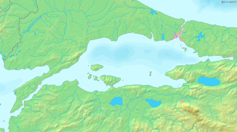
Archivi:Sea of Marmara map.png

Grandezza de questa pagina de veduda antecipada: 800 × 448 picsel. Alter risoluzzion: 320 × 179 picsel | 640 × 358 picsel | 1 336 × 748 picsel.
Fail orginal (1 336 × 748 picsel, dimension : 334 KByte, sort MIME: image/png)
Cronologia de l'archivi
Schiscia in su un grup data/ora per vedè l'archivi com 'a l'è che l'era in quell moment là
| Data/Ora | Miniadura | Grandezza | Utent | Coment | |
|---|---|---|---|---|---|
| corent | 19:37, 6 set 2005 |  | 1 336 × 748 (334 KByte) | Mats Halldin~commonswiki | Map of the Sea of Marmara Bounding box West 26°, South 39.8°, East 30°, North 41.5°. {{demis-pd}} Category:Maps of Turkey |
Ligámm
Quell fail chì l'è doprad de la pagina chichinscì:
Utilizazzion global di fail
Anca questi Wiki chì a dopren quell fail chì:
- Doperad in af.wikipedia.org
- Doperad in am.wikipedia.org
- Doperad in ang.wikipedia.org
- Doperad in ar.wikipedia.org
- Doperad in azb.wikipedia.org
- Doperad in az.wikipedia.org
- Doperad in ba.wikipedia.org
- Doperad in br.wikipedia.org
- Doperad in bs.wikipedia.org
- Doperad in ca.wikipedia.org
- Doperad in ce.wikipedia.org
- Doperad in ckb.wikipedia.org
- Doperad in cs.wikipedia.org
- Doperad in cv.wikipedia.org
- Doperad in cy.wikipedia.org
- Doperad in da.wikipedia.org
- Doperad in de.wikipedia.org
- Doperad in diq.wikipedia.org
- Doperad in dsb.wikipedia.org
- Doperad in el.wikipedia.org
- Doperad in el.wiktionary.org
- Doperad in en.wikipedia.org
- Doperad in en.wiktionary.org
- Doperad in eo.wikipedia.org
- Doperad in es.wikipedia.org
- Doperad in et.wikipedia.org
- Doperad in fa.wikipedia.org
- Doperad in fi.wikipedia.org
- Doperad in fr.wikipedia.org
Varda utilizazzion global de quell fail chì.